At a glance
GRASP launched a new website to showcase its work at the intersection of geospatial research, social vulnerability, and emergency preparedness and response.

GRASP: 2020 in Review
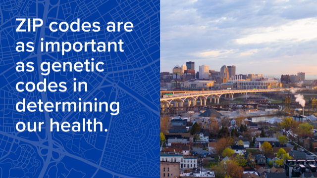
ATSDR's GRASP launched the Place and Health website in 2020. Place and Health features a portfolio of collaborative projects, a timeline of key ATSDR milestones in geospatial science, and evidence of why "the places of our lives affect the quality of our health."
GRASP's origins are in ATSDR's mandate to examine environmental exposure at hazardous waste sites. GRASP continues to provide cutting-edge geospatial visualization and analysis support for ATSDR site work. In addition, GRASP's mission has expanded through the years to connect the places of our lives — homes, workplaces, schools, places of worship, and more — to our health and well-being. To this end, GRASP professionals have been shaping the Geospatial Determinants of Health (GDOH)
What is Geospatial Determinants of Health?
The Geospatial Determinants of Health (GDOH) is a framework using numerous geographic data points to show the influence of disease and assist with public health response. The emerging purpose of the GDOH is to
- Define the geospatial drivers of health with an emphasis on factors that vary by place
- Serve as a catalyst to define, promote, and advance the use of place in research and practice across the public health community
- Shape the nation's public health curriculum to advance geospatial analysis, statistics, and technology in the study of public health
Expanding Our Reach
As GDOH and GRASP expand, partnerships have been extended throughout the public sector and technology, research and analysis, and visualization industries. Working on over 500 projects a year, these programs are continuously evolving.
Another key tool GRASP updated this year is the CDC/ATSDR Social Vulnerability Index (SVI). The SVI helps public health officials identify and characterize populations more likely to need support before, during, and after a hazardous event or public health emergency. The SVI has played an instrumental role in the COVID-19 response and other public health emergency responses. GRASP also used the SVI to identify communities in Georgia with a greater likelihood of heat-related emergency department visits — visits that are likely to increase with heat events related to climate change. The SVI can be used to estimate groups disproportionately affected by heat such as children and people aged 65 and over living in specific areas. In turn, this data could connect more education, public health intervention, and financial resources to these groups before and during extreme heat events.

